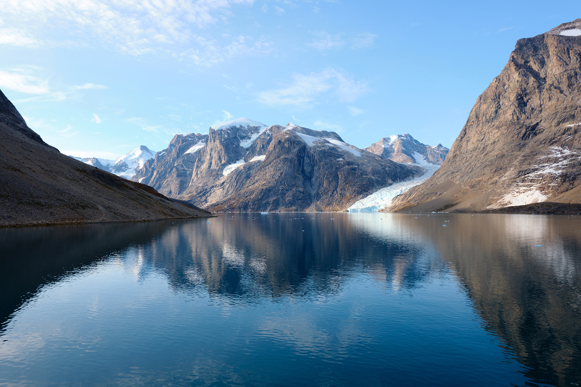
Freshwater runoff from Greenland’s ice-free catchments remains an important but often overlooked component of the Arctic water cycle. While the Greenland Ice Sheet receives significant scientific attention, runoff from surrounding snow-covered landscapes contributes substantially to many Greenlandic fjords and plays a critical role for local communities, whose drinking water supplies and hydropower production depend heavily on these freshwater resources (100% of water supply and 75% of installed hydropower capacity). Improved estimates can therefore inform understanding of terrestrial and marine ecosystems, climate adaptation, water-resource management and hydropower planning in Greenland, a concrete priority for resilient and sustainable development under the EU Arctic Policy.
This Alliance brings together the Horizon Europe project ICELINK and the ESA 4DGreenland project to address this challenge through the integration of Earth observation and hydrological modelling. By combining satellite-derived information on snow extent and snow wet/dry conditions, respectively from Copernicus Sentinel-3 (SLSTR & OLCI at 300 m resolution) and Copernicus Sentinel-1 (at 100m resolution), with catchment-scale snow and hydrology models, the collaboration seeks to improve the quantification of freshwater runoff from selected Greenland catchments and reduce uncertainties associated with climate-model inputs. The result will be a more accurate and locally relevant picture of how snow and freshwater resources evolve across Greenland’s ice-free regions.
This coordinated approach creates added value for both projects and the wider community:
- For 4DGreenland, satellite-derived snow products are applied directly to a real-world hydrological challenge, demonstrating the value of Earth observation for Arctic environmental monitoring.
- For ICELINK, Earth observation data help improve catchment-scale models by constraining snow conditions more accurately and reducing uncertainty in runoff estimates.
- For Greenlandic society, improved freshwater assessments support better understanding of resources that underpin drinking water supplies and hydropower production.
- For the scientific community, the alliance provides a practical example of how satellite observations and local-scale environmental models can be brought together to improve understanding of rapidly changing polar systems.